Data Update Denmark 🇩🇰: New National LiDAR Building Data
Need LiDAR-based 3D building heights in Denmark? Cityweft now includes nationwide, high-precision LiDAR-derived building heights across all of Denmark—so you can generate accurate, consistent 3D context models for Copenhagen, Aarhus, Odense, Aalborg, and rural areas in minutes.
Available via: web platform, plugins, and API.
Export formats: SKP, OBJ, GLB, 3DM, DXF, GLTF, DAE, PLY, STL.
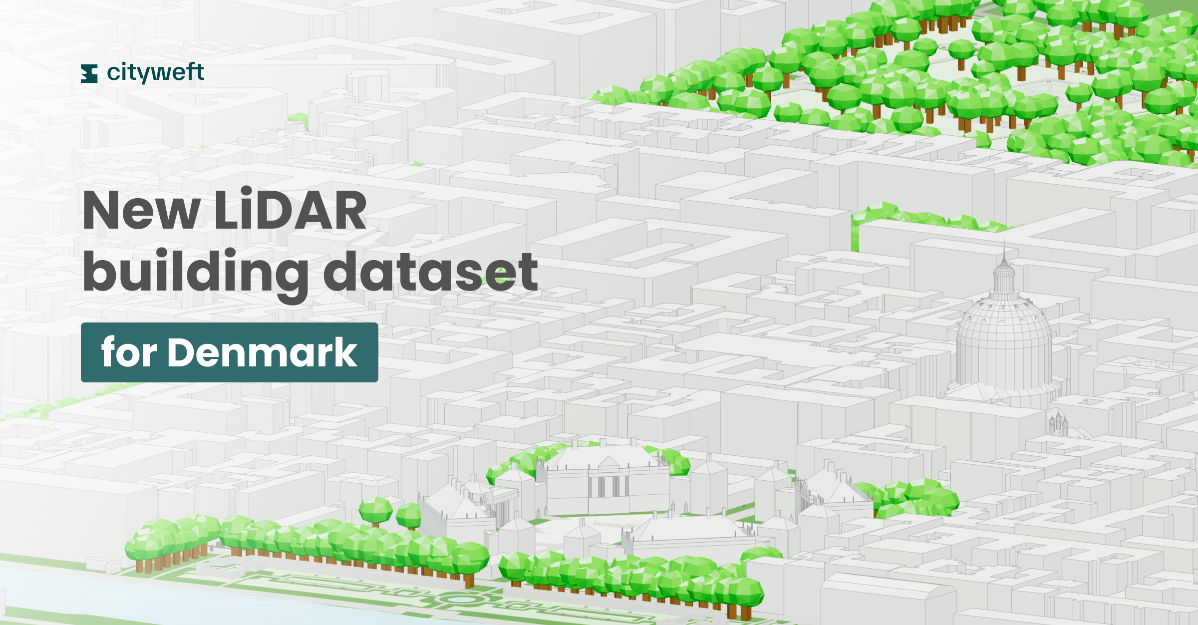
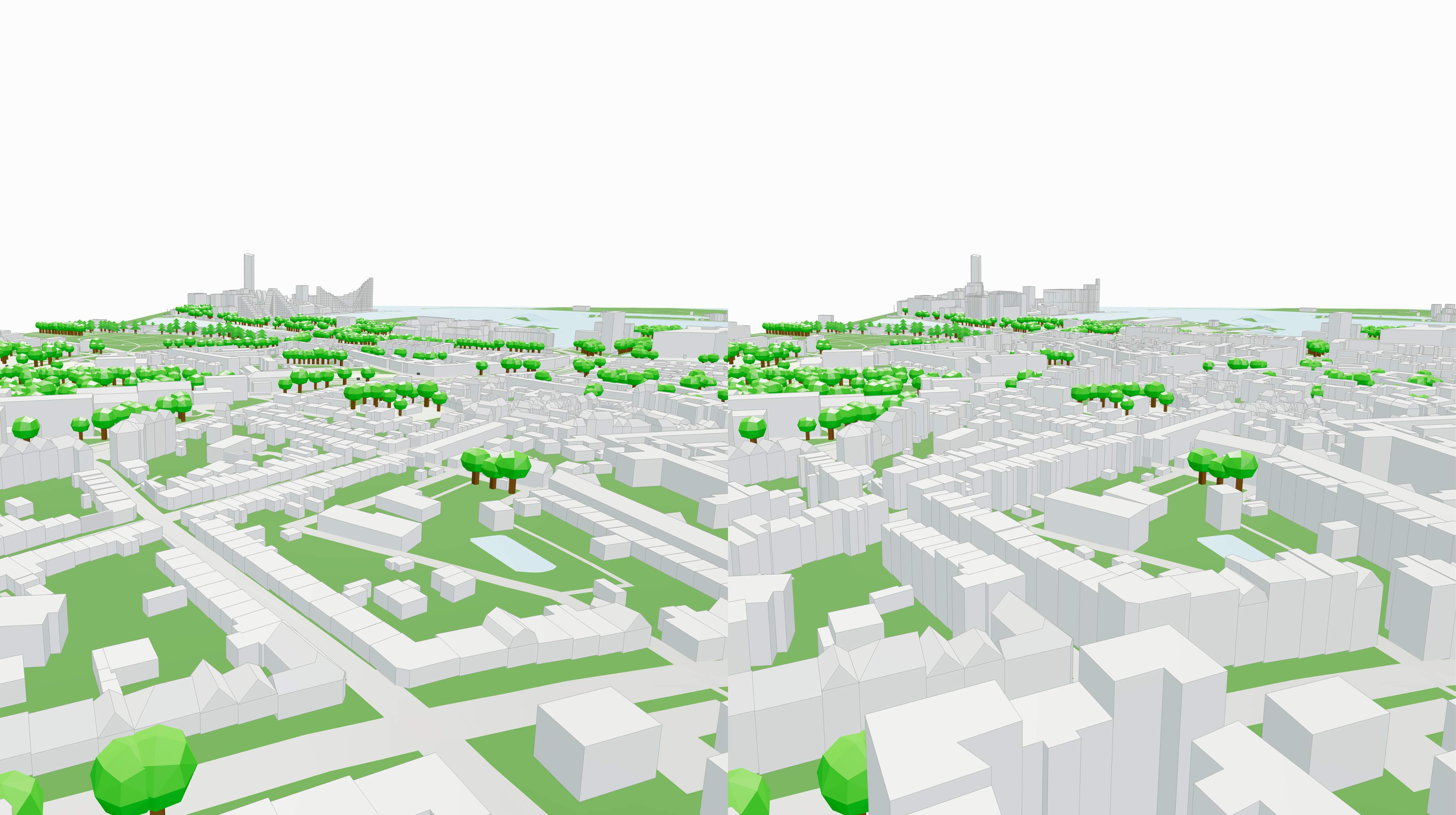
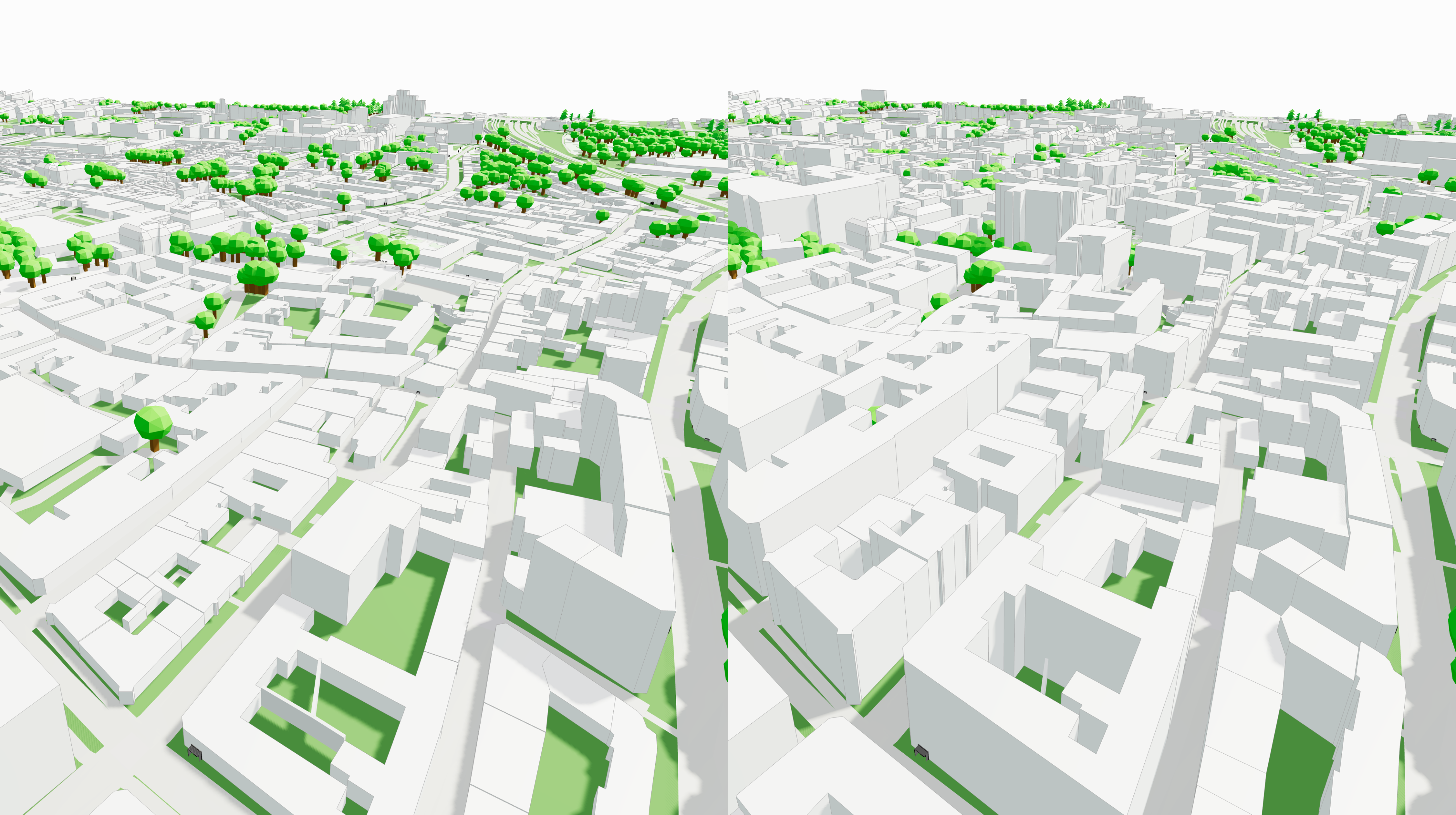
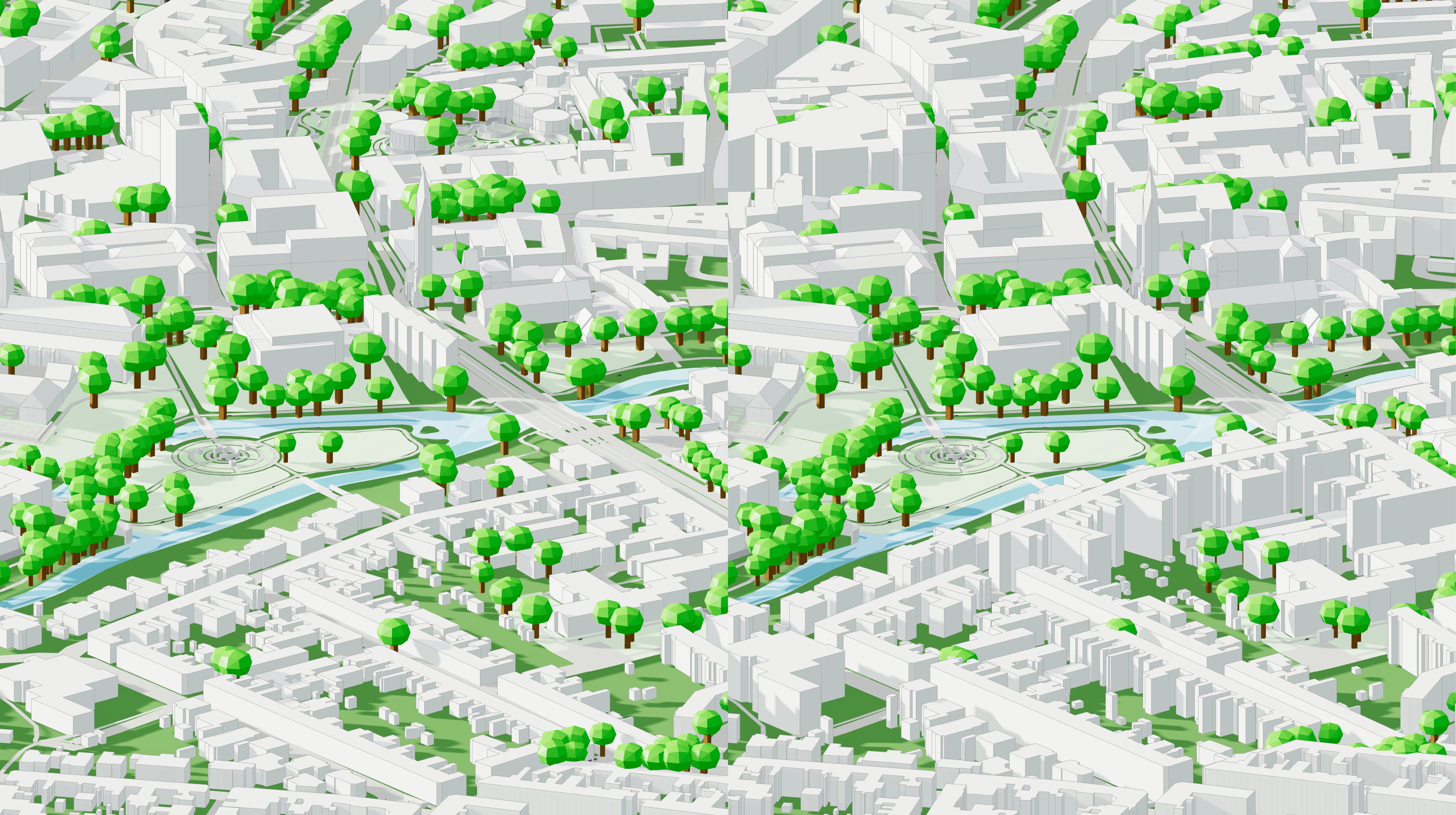
We’re excited to announce that Cityweft now supports a new nationwide dataset of up-to-date, high-precision building heights across all of Denmark.
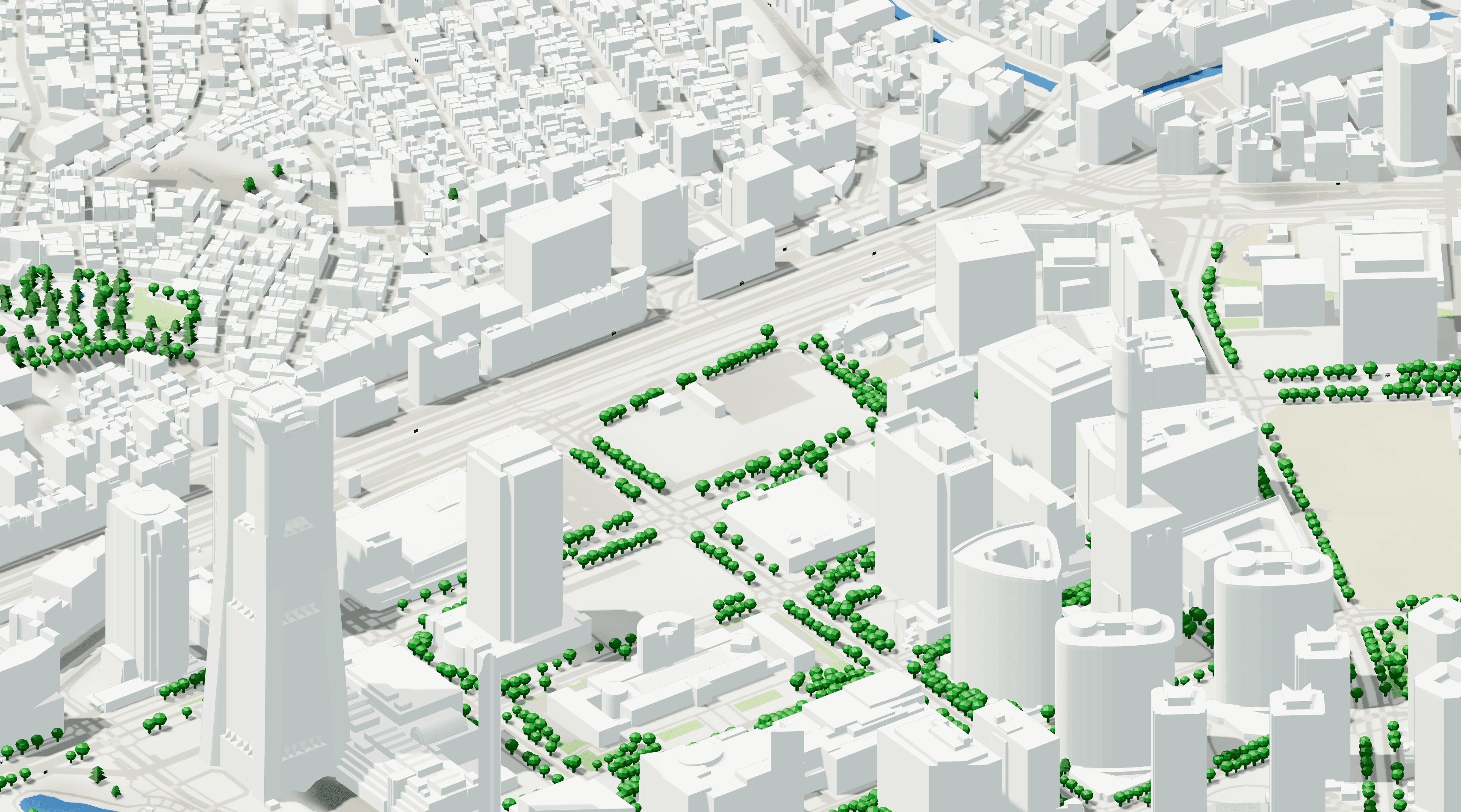
Using authoritative high-resolution LiDAR data, we generate accurate and consistent 3D building geometry for cities, towns, and rural areas across the country — delivering a new level of realism and reliability for Danish context models.
The updated dataset is live today across the Cityweft platform, plugins, and API, with no additional setup required.
What’s new
🇩🇰 Nationwide building height coverage
Cityweft now provides full Denmark-wide building height coverage, generated from high-precision LiDAR surveys. This ensures consistent, accurate building geometry across urban and non-urban areas alike — from Copenhagen to smaller municipalities.
📡 High-precision LiDAR-derived geometry
The LiDAR data delivers survey-grade elevation accuracy, capturing true building heights and roof forms rather than relying on inferred or averaged values. This significantly improves the fidelity of city massing and terrain representation.
🔌 Seamless integration across workflows
Whether you’re exporting via the web platform, working in Rhino and other plugins, or accessing data through the Cityweft API, the new Denmark building height layer is fully supported and ready to use.
Why this matters
Accurate building heights unlock better analysis and stronger design decisions:
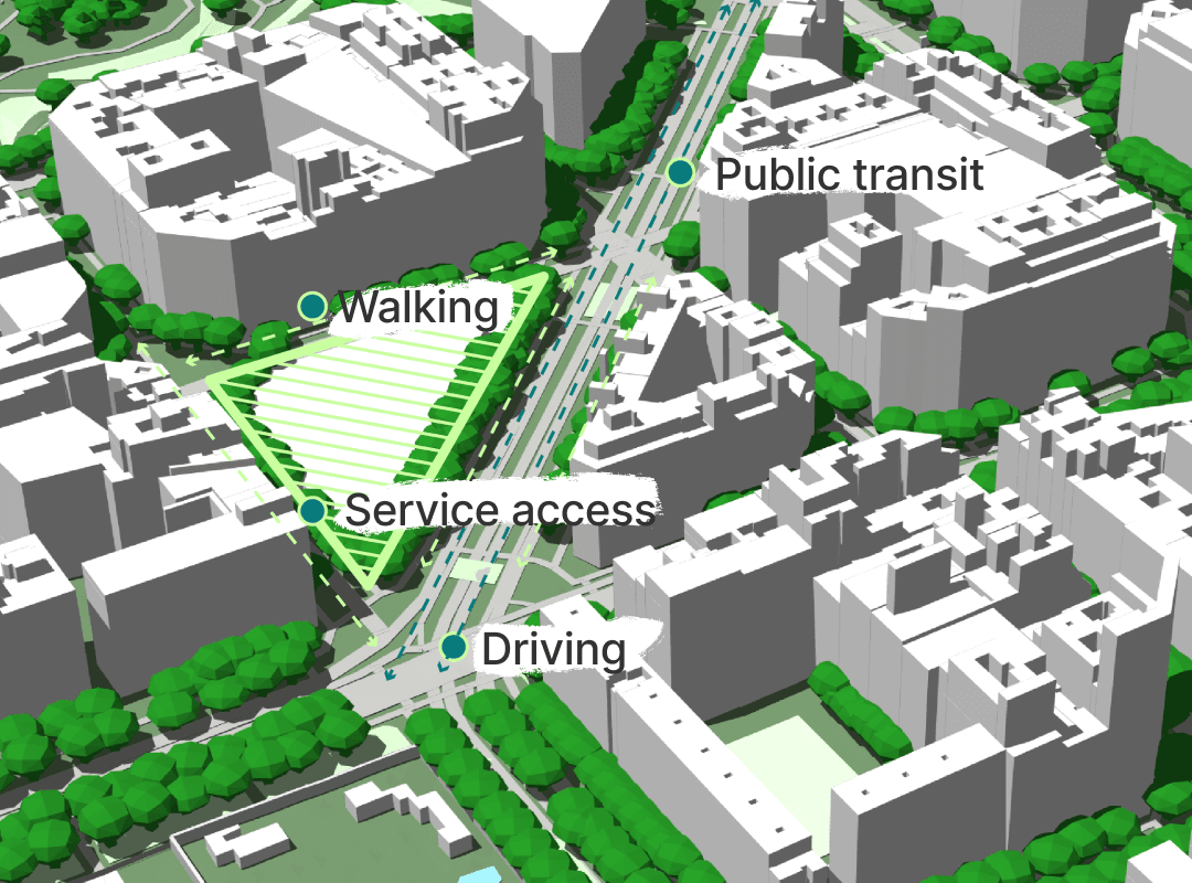
🏙️ Context-aware design: Realistic urban massing for early-stage architectural and planning work.
☀️ Improved environmental analysis: More reliable shadow studies, solar access analysis, and visibility simulations.
📊 Stronger urban metrics: Accurate building volumes and forms for data-driven workflows.
⚡ Consistent 3D outputs: Reliable geometry for CAD, BIM, GIS, and parametric design pipelines.
Coverage: Denmark (nationwide LiDAR building heights)
Nationwide building height coverage across Denmark (urban + rural)
Especially useful in Copenhagen, Aarhus, Odense, Aalborg (and smaller municipalities)
Examples of improvement
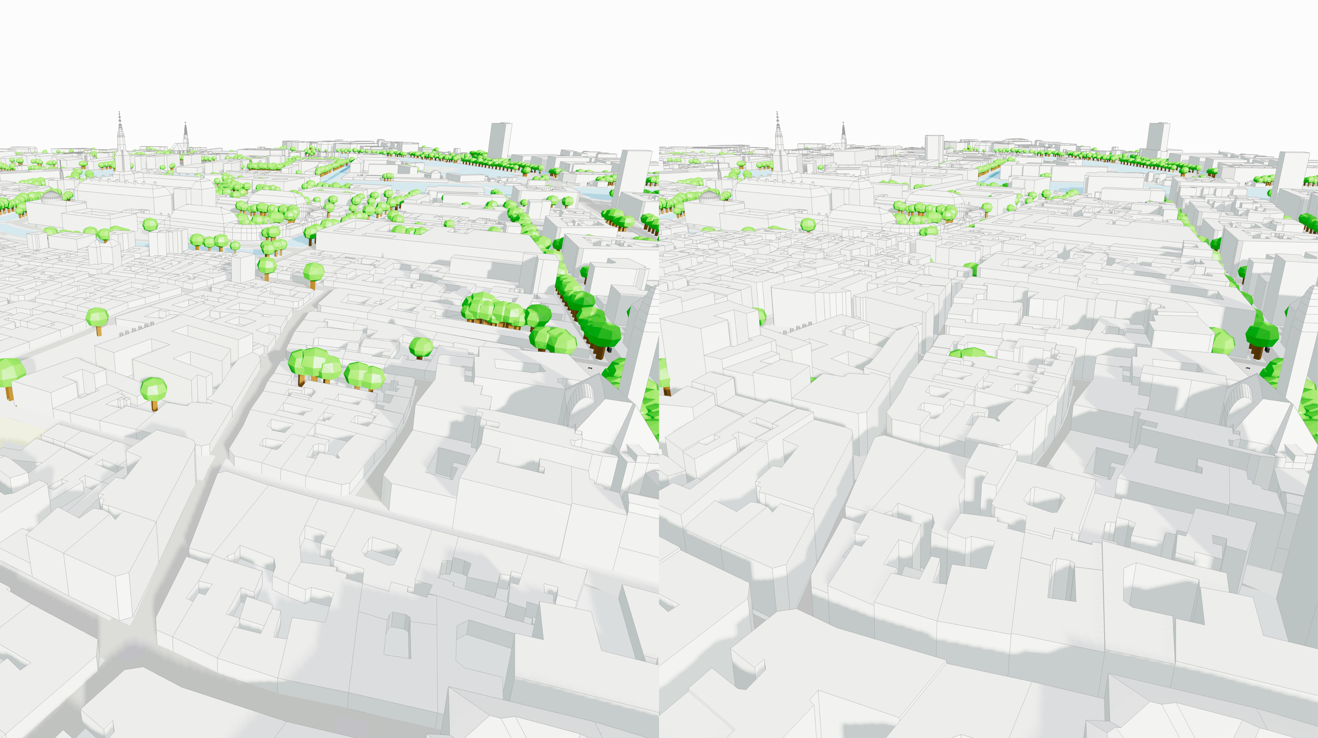
With the new LiDAR-based dataset baked directly into Cityweft exports, you’ll notice:
More faithful urban skylines
Building heights that reflect real-world survey data
Improved performance for site modelling, context studies, and simulations
Cleaner, more consistent geometry compared to OSM-only height inference
Built for Local workflows
This update is especially valuable for projects working within Danish planning and regulatory contexts, where accuracy, consistency, and traceable data sources are essential.
Whether you’re working on:
early-stage architectural concepts
urban development proposals
environmental impact studies
large-scale masterplanning
Cityweft now provides a reliable nationwide baseline for Denmark.
FAQ: Denmark LiDAR building heights & 3D building data
Q1: What is LiDAR building height data?
A: LiDAR measures elevation directly, enabling more accurate building heights (and often better roof forms) than inferred tagging.
Q2: Does Cityweft cover all of Denmark?
A: Yes—Cityweft provides Denmark-wide building heights generated from high-precision LiDAR surveys.
Q3: Where is this most useful?
A: Anywhere you need reliable context for massing, shadow/solar studies, visibility analysis, and urban metrics.
Q4: How do I access it?
A: It’s live across the Cityweft platform, plugins, and API with no extra setup.
Q5: What export formats does Cityweft support?
A: SKP, OBJ, GLB, 3DM, DXF, GLTF, DAE, PLY, STL.