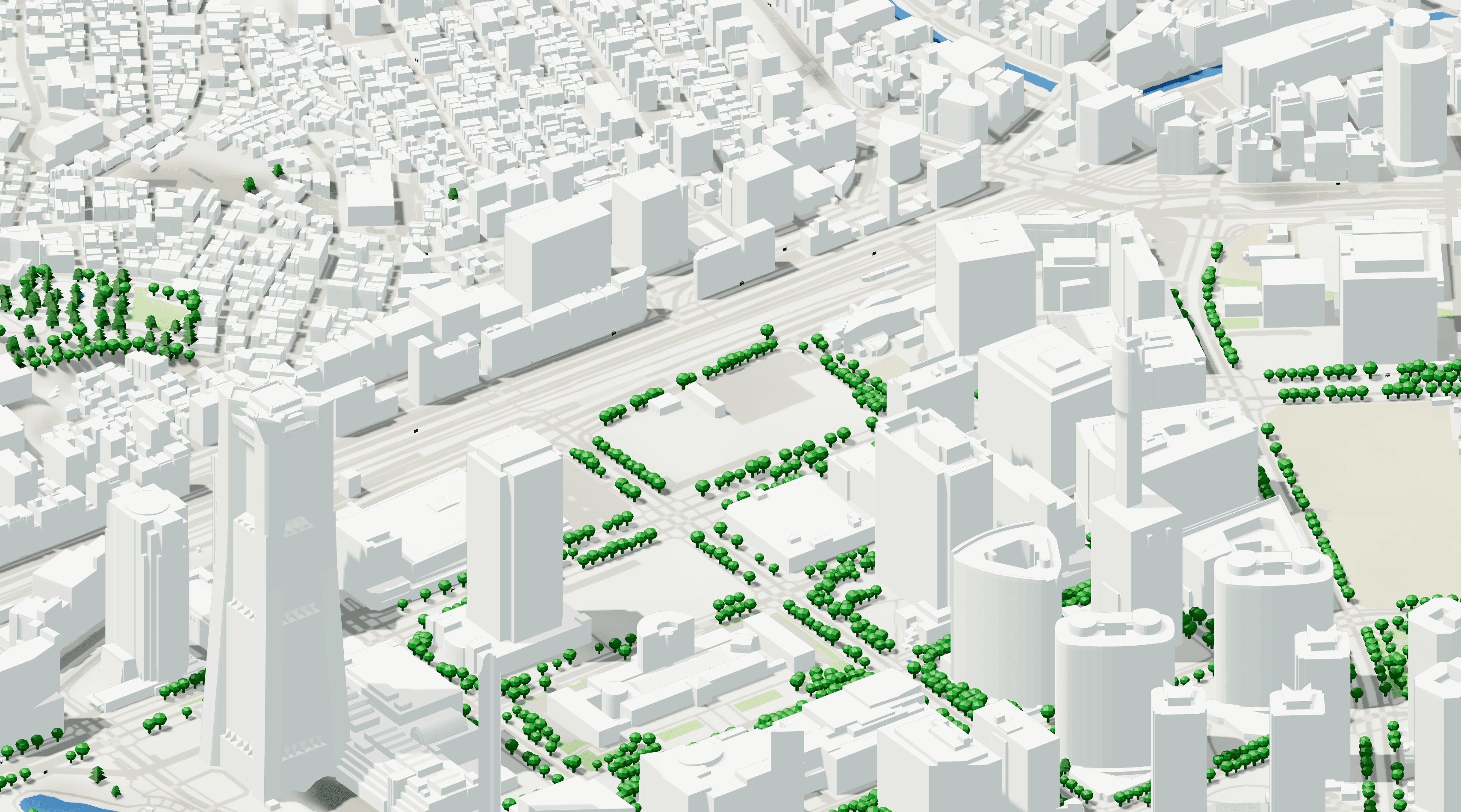
26/09/25 Update: New Local Building Data for Central Europe!
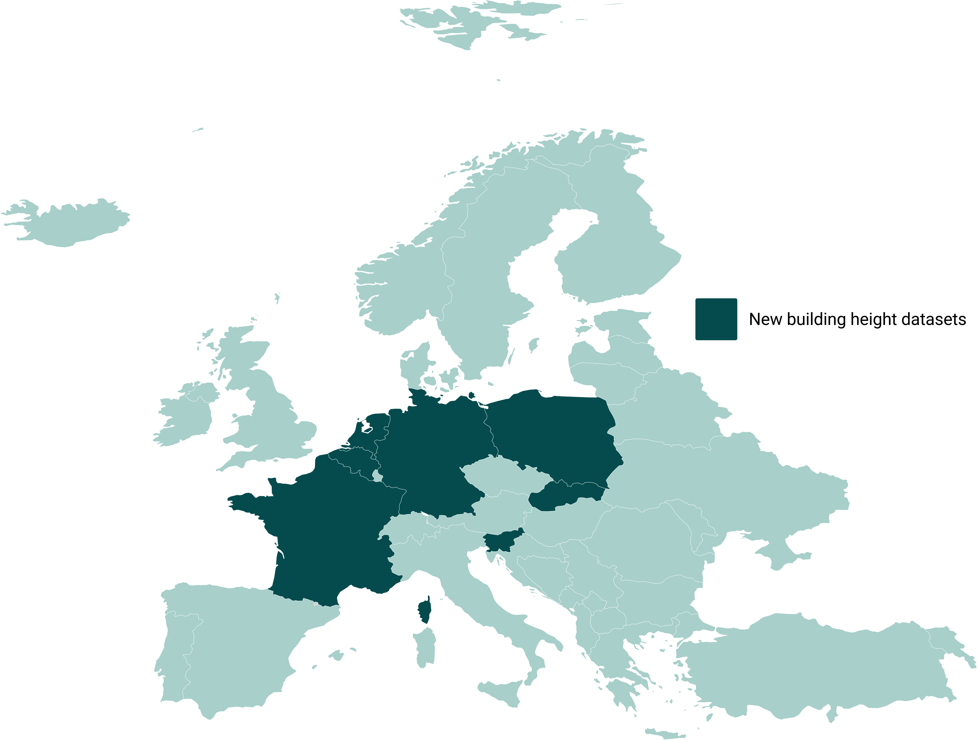
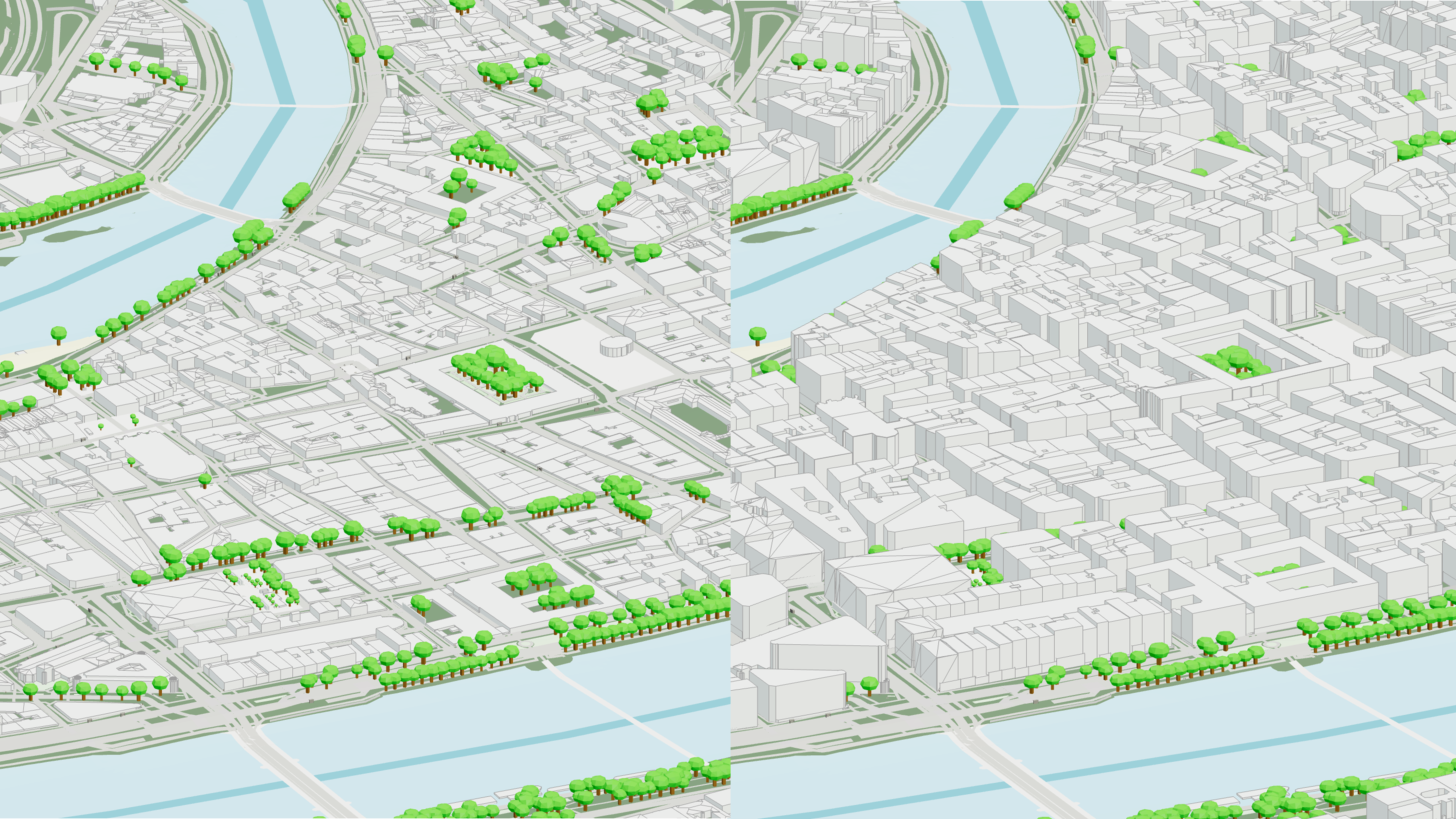
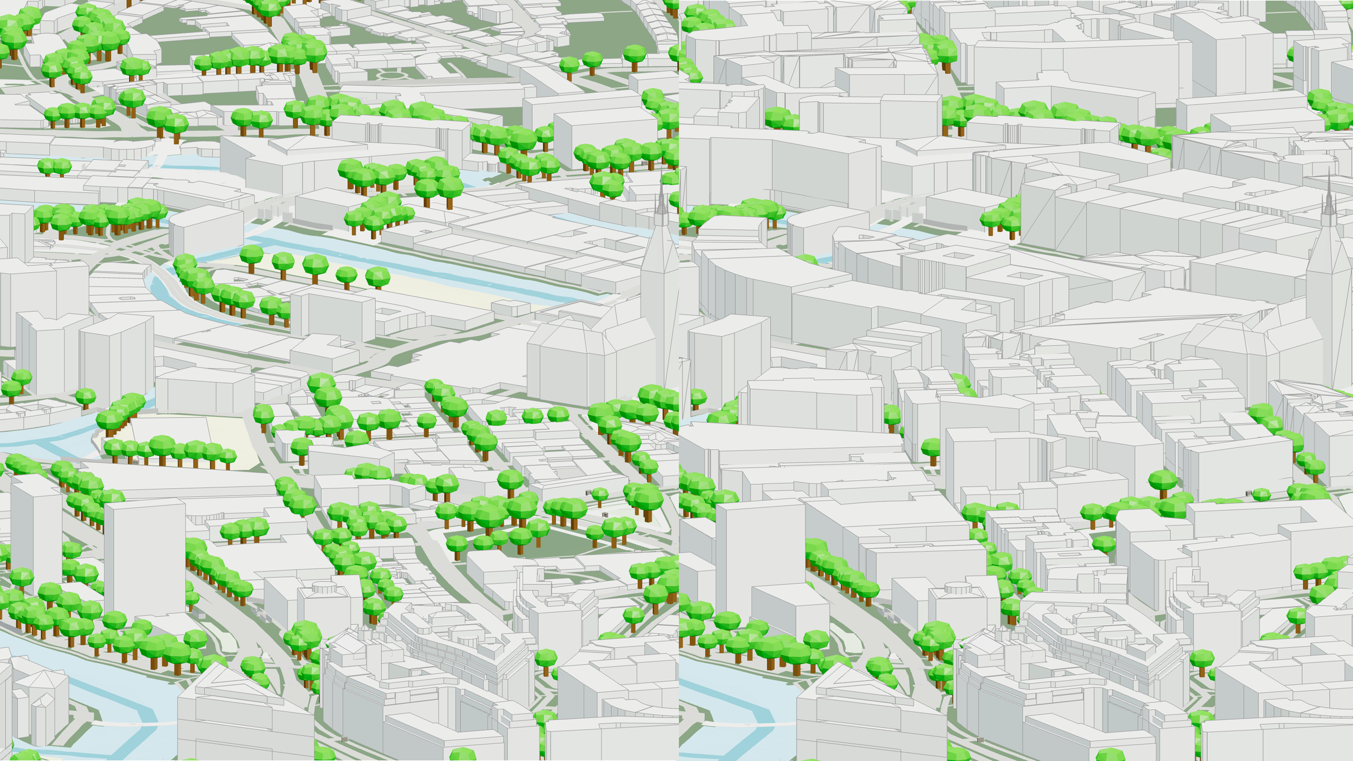
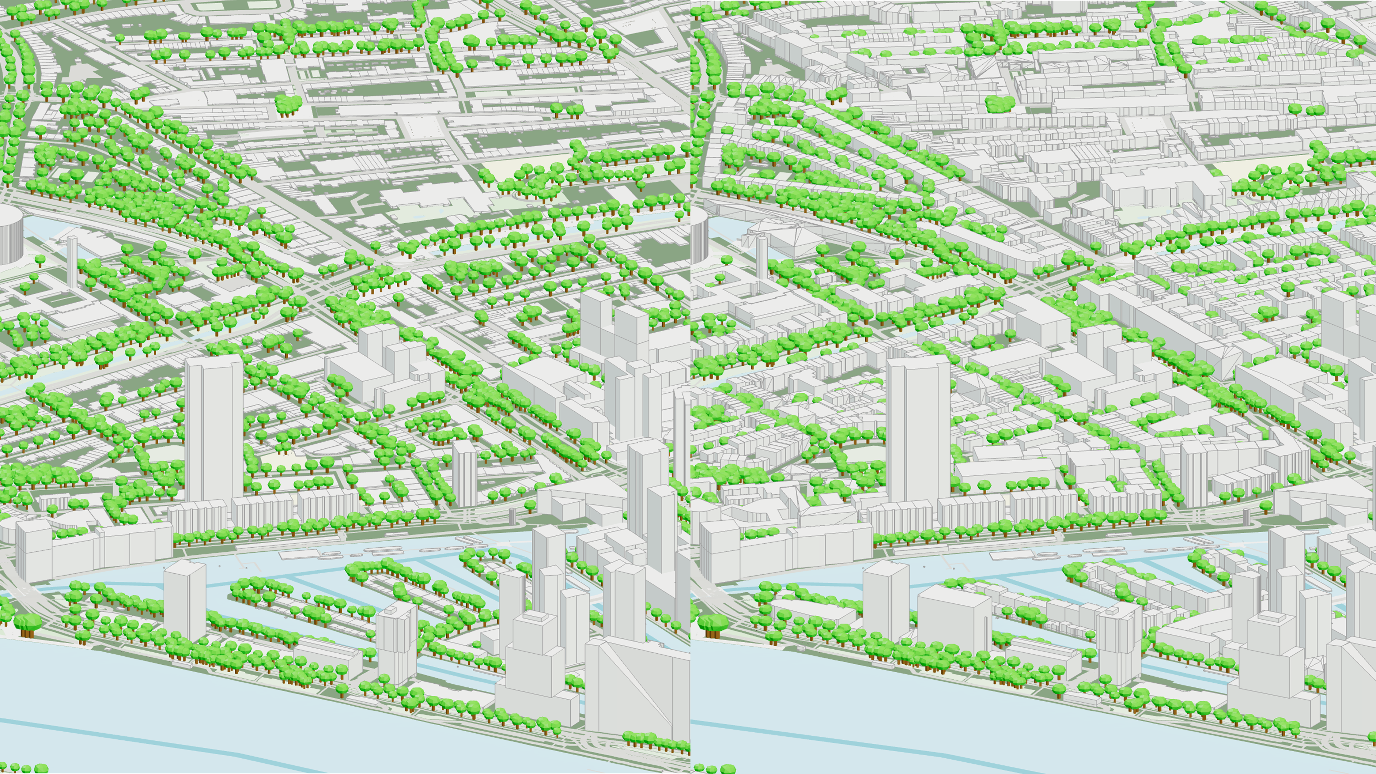
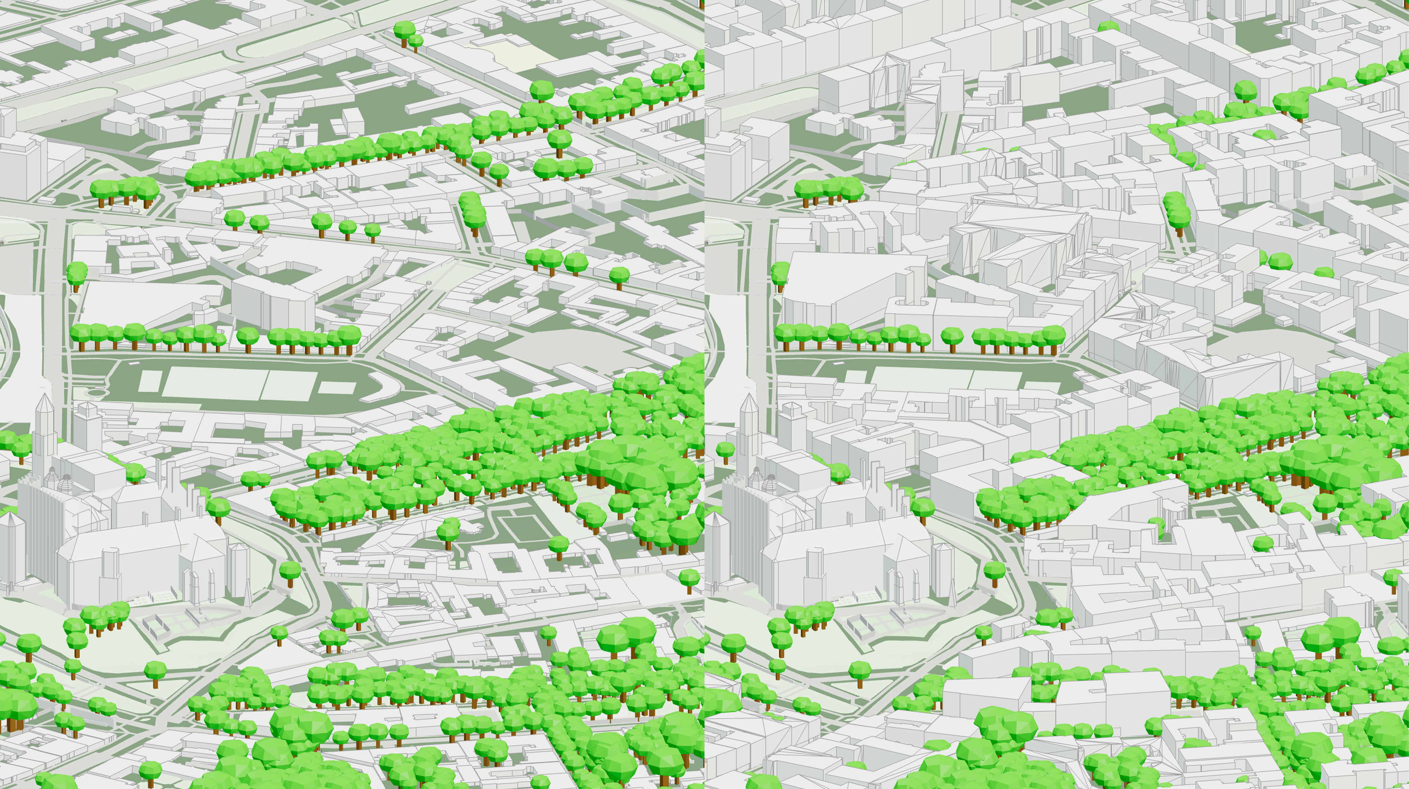
We’re excited to announce the latest update to our data sources, bringing in a wealth of localized, high-quality building data from government agencies across 7 European countries; Belgium, France, Germany, Netherlands, Poland, Slovakia, and Slovenia. This update enhances the precision of our maps and 3D models, including detailed building heights, giving you richer insights and more accurate visualizations for each country.
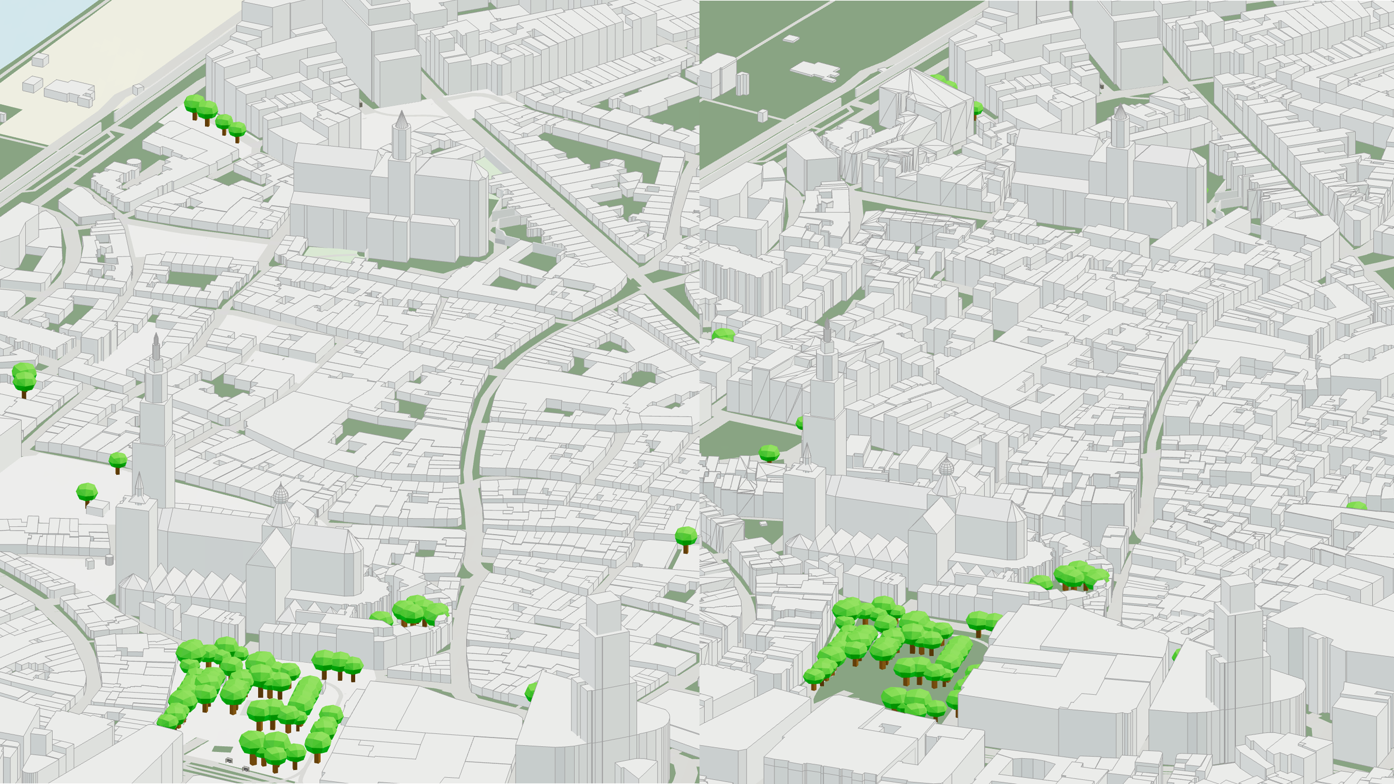
While these new data sources impact coverage across these countries the difference is most notable in smaller towns, rural, and suburban areas where global data sources like OpenStreetMaps lacks detail and information.
Read more below to find out which areas are affected as well as some examples from key cities! For a full overview of our building datasets, you can follow our ever-changing overview here.
🇧🇪 Belgium
Our Belgian data comes from multiple authoritative sources, including the Agency for Geographical Information Flanders, Service Public de Wallonie, and Brussels UbIS. These datasets provide comprehensive coverage and precise building height information across the country.
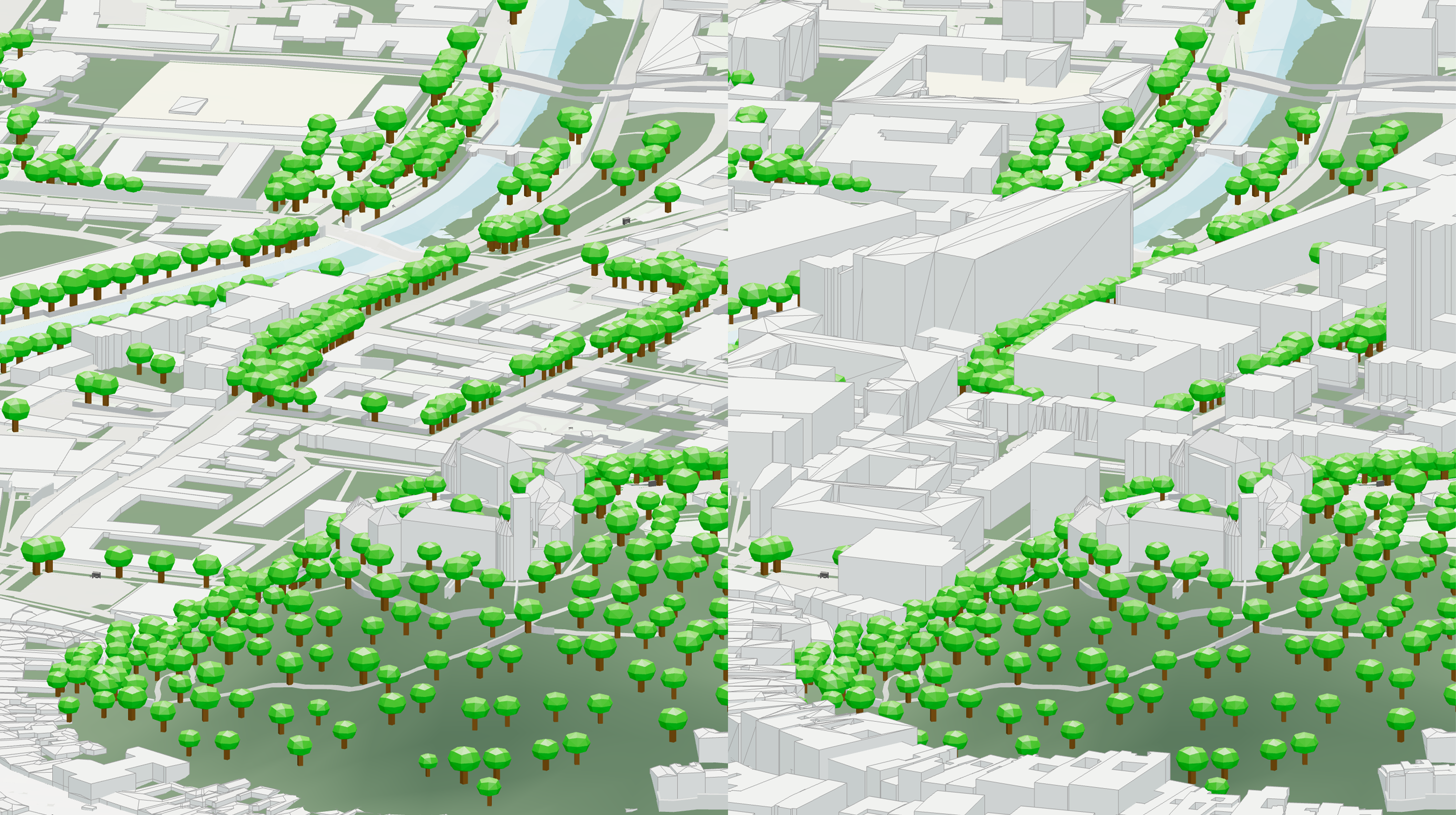
🇫🇷 France
In France, our updates leverage data from the Institut national de l’information géographique et forestière (IGN). This ensures detailed mapping and accurate 3D building representations throughout France.
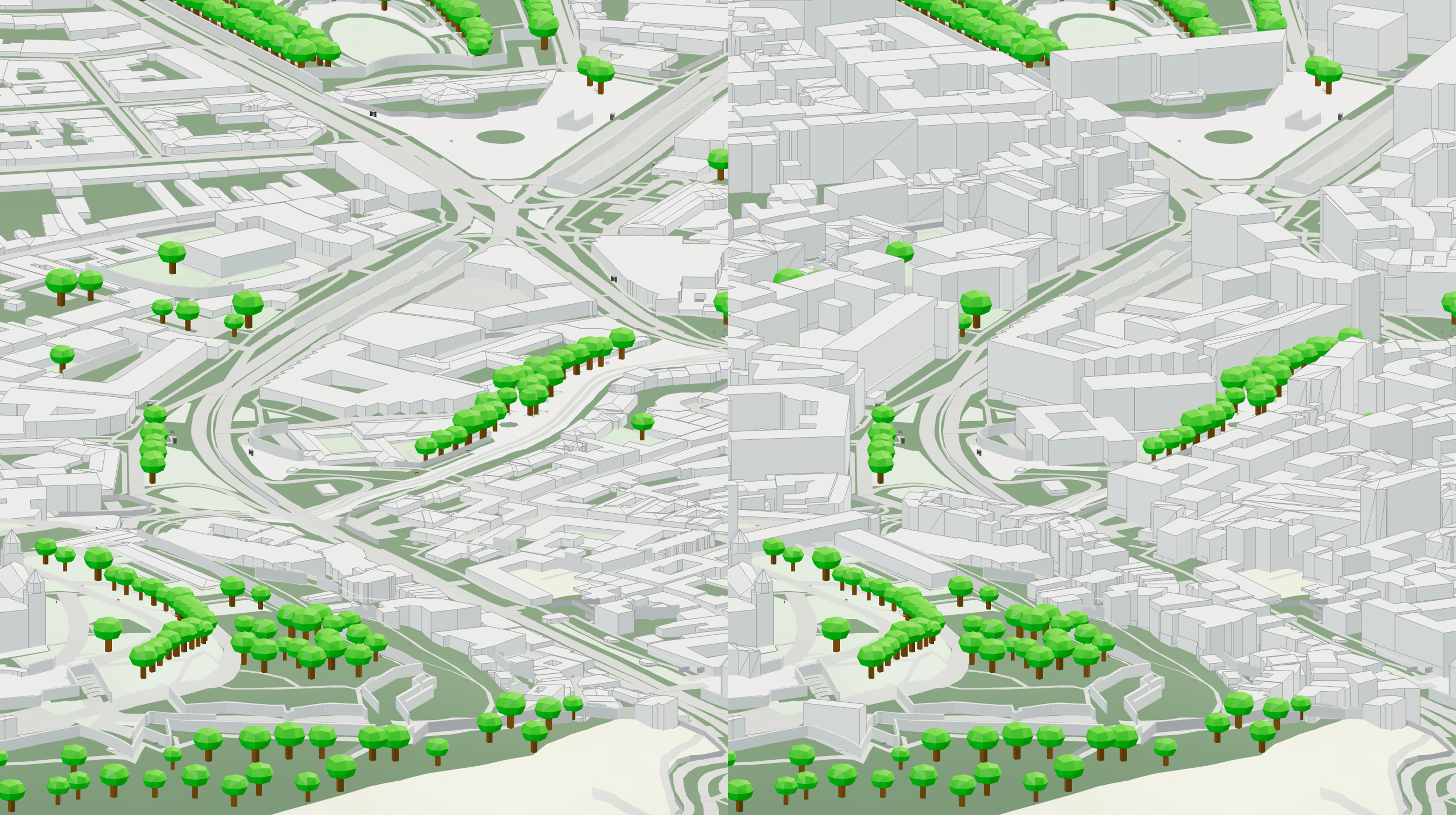
🇩🇪 Germany
In Germany, we use a variety of local municipal datasets to provide highly localized, accurate mapping and building height information. The data covers a range of regions across the northern half of Germany, including:
Berlin (City)
Hamburg (City)
Brandenburg (Region)
Freiburg (City)
Sachsen (Region)
Sachsen-Anhalt (Region)
Thüringen (Region)
Nordrhein-Westfalen (Region)
Niedersachsen (Region)
Mecklenburg-Vorpommern (Region)
This approach ensures detailed 3D modelling across both urban and rural areas.
🇳🇱 Netherlands
The TU Delft 3D dataset powers our updates in the Netherlands, offering accurate building height information and detailed urban mapping. The dataset also contains LOD2 building data which will be included in a later update!
🇵🇱 Poland
Polish data comes from the Główny Urząd Geodezji i Kartografii (GUGiK), providing authoritative geographic and building information across the country.
🇸🇰 Slovakia
Our Slovakian updates rely on GKU Bratislava, ensuring high-quality data and detailed 3D building measurements.
🇸🇮 Slovenia
In Slovenia, we source data from The Surveying and Mapping Authority of the Republic of Slovenia, which provides estimated geographic and building height information.
This update brings our platform closer to delivering fully localized, high-precision data for Europe, giving you more accurate insights and richer visualizations than ever before.
🚀 Looking forward
Our data expansion is already ongoing with new datasets coming soon:
🇨🇭Switzerland, full country coverage (LOD2)
🇩🇪 Germany, rest of country (LOD2)
🇬🇧 UK, full country (LOD1)
🇸🇪🇩🇰🇫🇮🇪🇪 Nordics
In addition, we are integrating a new global dataset based on machine learning data derived from global building morphologies - providing building height estimations worldwide!