
A new generation of 3D city models for the United States
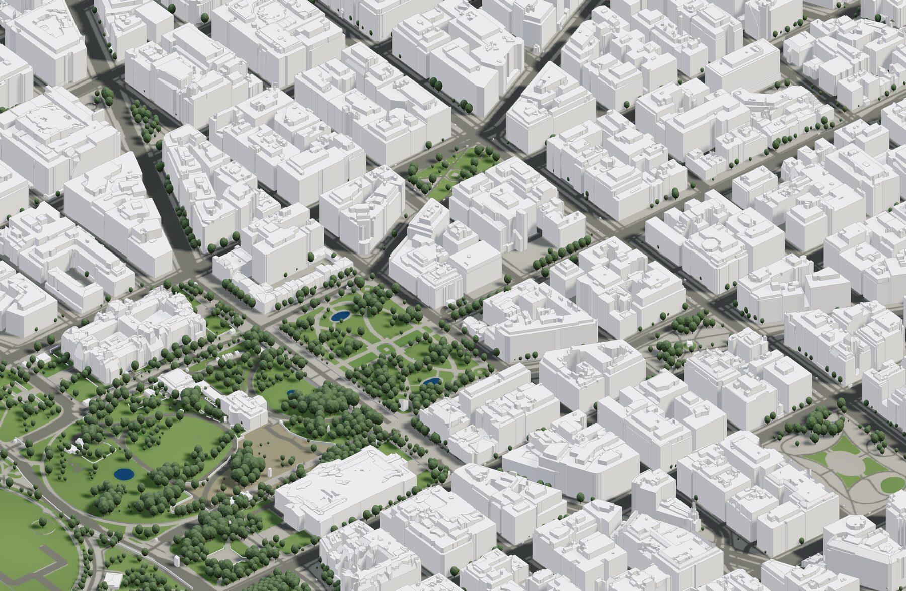
We build our US buildings dataset in-house from dense LiDAR point clouds — more than 900 aerial surveys, processed into accurate massing, true volumes, and clean, design-ready meshes with one consistent quality bar from coast to coast.
- True massing & volumes
- Nationwide coverage
- 10+ export formats + API
Coverage
Nationwide
most cities and urban areas, coast to coast
Buildings
100M+
with correct, analysis-ready volumes
Building detail
LOD 2
true massing, not flat extrusions
Terrain
1 m
nationwide, finer in select counties
Built from LiDAR. Processed at national scale.
We build the dataset ourselves from dense aerial LiDAR — billions of measured points processed into true massing, real volumes, and clean, design-ready geometry, with one consistent standard across the country.
- True massing and volumes, reconstructed from LiDAR — not flat extrusions
- Clean, editable meshes that drop straight into CAD and BIM tools
- Real-world coordinates and true north preserved on every export
- Automated quality checks on every city we process
- 1 m terrain underneath, aligned with the buildings
- Dependable inputs for shadow, solar, visibility, and massing studies
Nationwide: from the biggest metros to hundreds of smaller cities.
One nationwide dataset covering the large majority of US urban areas — and it keeps improving with every refresh.
- New York
- Los Angeles
- Chicago
- Houston
- Phoenix
- Philadelphia
- San Antonio
- San Diego
- Austin
- San Francisco
- Seattle
- Denver
- Washington D.C.
- Boston
- Nashville
- Detroit
- Portland
- Las Vegas
- Memphis
- Baltimore
- Milwaukee
- Atlanta
- Miami
- + hundreds more cities across the country
Built to power what your team is building.
The US dataset ships on the same delivery rails as the rest of Cityweft — export design-ready files from the platform, or plug your product straight into our API.
Enterprise or platform team?
Book a call to get free preview access to the US dataset and talk through API and integration options. For enterprises and software platforms.
Generate your first US model today.
Draw an area anywhere in the US, preview the model in minutes, and export design-ready files — or talk to us about API and volume needs.
- Instant previews on the platform
- 10+ export formats, georeferenced
- API access for teams and platforms
Requires an active plan with the US add-on. Enterprises: book a call for free preview access and integrations.